WHAT?
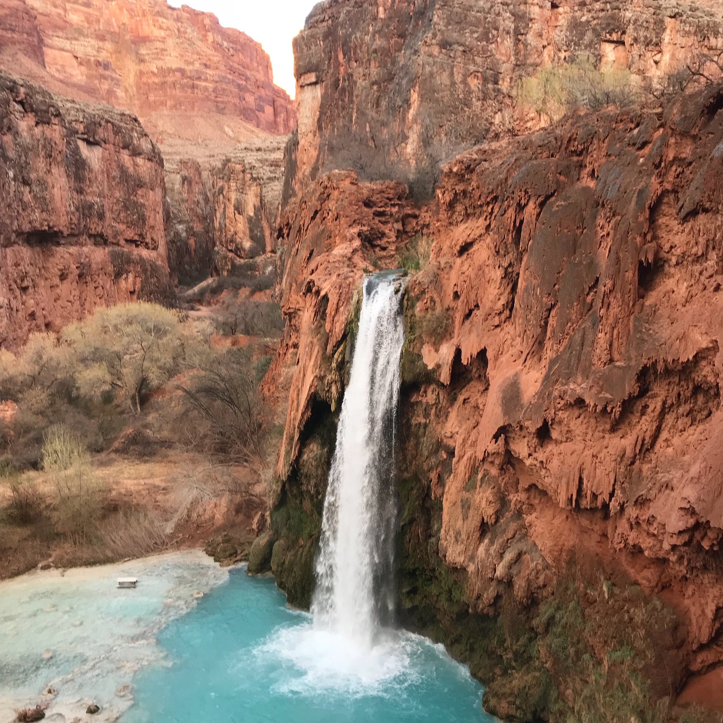
One the most beautiful places on earth.
HOW DO I GET HERE?
First things first. You’ll need a reservation. Here’s what to do.
Remember this date: FEBRUARY 1ST. This is when you can begin making reservations.
Remember this website: http://theofficialhavasupaitribe.com. This is where you can sign up for reservations. Spots fill up FAST! Make sure you sign up immediately after reservations open.
While this blog will provide a brief overview for your trip, the website above will provide more in-depth details about how much permits cost, how many days you can stay, and further rules and regulations for staying in Havasupai.
HOW DO I GET HERE (PART 2)?
You’ve got your permit! Great! Here’s how to get here.
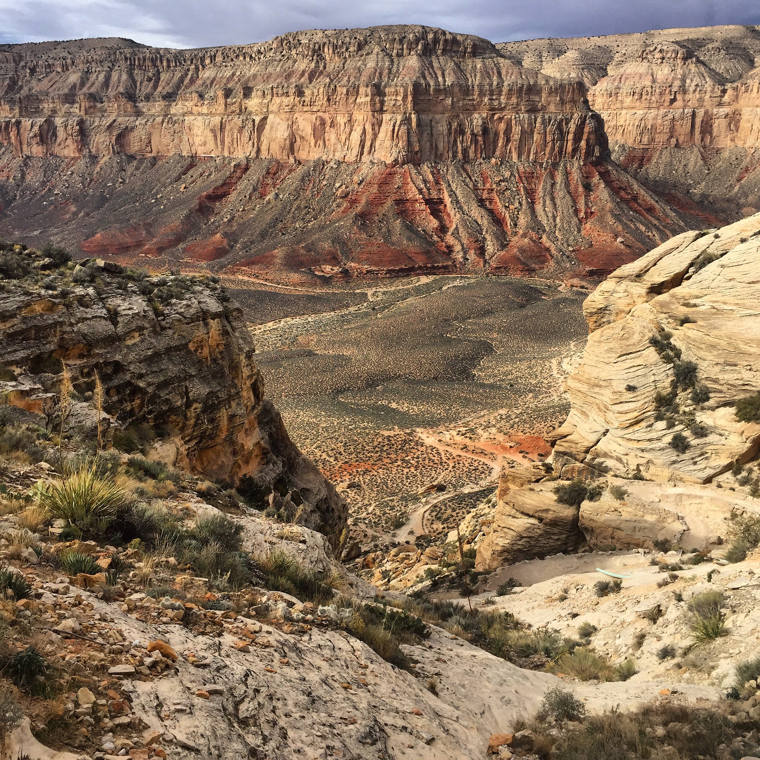
By car: Take the 1-40 to Seligman, AZ (I strongly recommend eating at https://www.westsidelilos.com/ before and/or after your experience in Havasupai). From Seligman take Indian Route 18 to the Hualapi Hilltop. Here you can park your vehicle and prepare for the next leg of your trip.
To get to Havasupai Village you’re most likely taking one of two ways:
Hiking in: Prepare yourself for an 8 mile downhill hike to Havasupai village where you will check in and receive confirmation of your online permit. It’s another 2 miles from here to the campground but if you’re staying at the Lodge then you’re already there. You can always pay a small fee for your backpack to be carried up and/or down the trail by mule.
Helicopter ride: 85$ one way. A short 10 minute ride from the Hualapi Hilltop to Havasupai Village. Please visit this website for more details: https://waterfallsofthegrandcanyon.com/havasu-falls/havasupai-helicopters/
WHERE DO I STAY?
Most people stay at the campground, 10 miles from the trailhead. Several eco-friendly bathrooms and a fresh water spring are available at the campground.
Lodging is also available at the Havasupai Lodge. Reservations begin in the summer months.
WHEN SHOULD I GO?
Havaupai is open from February to the end of November. Summer months (May-August) are the best time to get in the water BUT they are also the most dangerous for hiking with temperatures rising past 100 degrees fahrenheit. These months also include monsoon season, and heavy rains can bring very dangerous flash floods to the area. Please be mindful of weather patterns and plan accordingly. Many people suffer heat related injuries (even up to death) every year while in Havasupai and in the Grand Canyon wilderness.
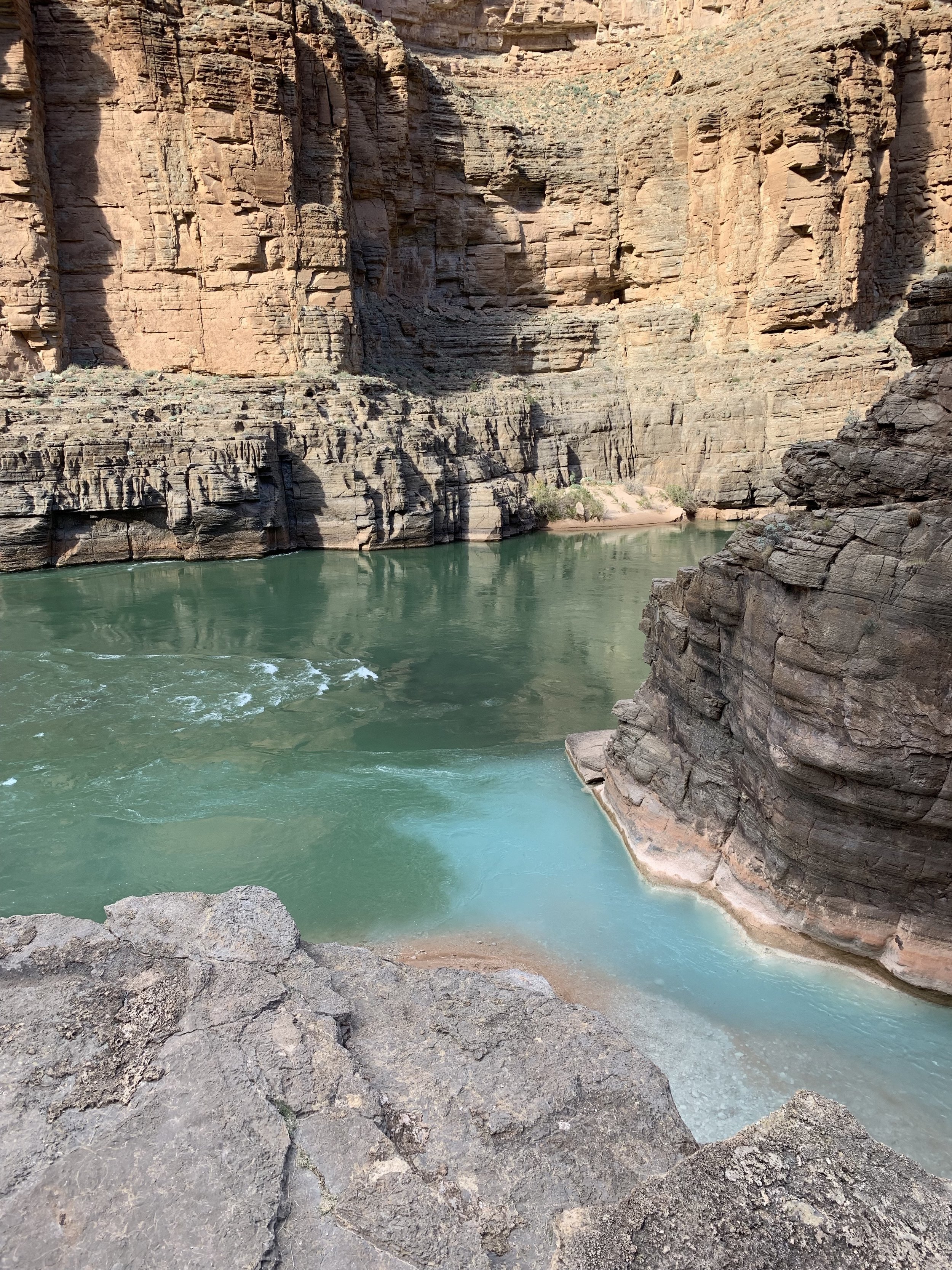
THE CONFLUENCE (HAVASU CREEK MEETS THE COLORADO RIVER):
For those of you here for details regarding the hike to the confluence: Bring plenty of water for the day (3 liters has typically been enough for me). Pack a lunch, bring snacks, and plan on having dinner back at the campground. I strongly suggest beginning your day from the campground no later than 8AM as you will be in for 14-18 miles (or 7-10 hours) round trip of hiking. The mileage varies depending on where you stay in Havasu Campground and also because you will be crossing the Havasu Creek 9-10 times. Route finding can be tricky and rock cairns will serve as your best friend. You will get wet on this hike, although the water crossings have never been higher than my thighs. I suggest wearing a pair of shoes that you don’t mind getting wet and that you don’t have to take off each time you cross the water. This will help cut down on time and energy.
People that do this hike will usually include a small visit to Beaver Falls which is along the way. By this time you will have crossed the Havasu Creek 3 times. The Beaver Falls area is also the area you will be leaving the Havasupai Reservation and entering Grand Canyon National Park. Along the trail, just before Beaver Falls, there is an option to turn left and go to the falls or to continue straight over a large hill and into the Grand Canyon. As you choose to continue straight you will reach a sign that designates you are leaving Havasupai Reservation. Make your way down the large hill and you will meet up again with Havasu Creek. From here you’ll have another 4-6 miles to the confluence, and you’ll cross the creek another 6 or so times. The trail is beautiful but can also be hard to find at times. Be on the lookout for cairns to help guide the way. You may even encounter Bighorn Sheep if you’re lucky.
The confluence is a popular place for river rafters to dock their rafts and do day hikes up Havasu Creek. When you arrive you will see the beautiful blue waters of Havasu Creek meet the roaring grey waters of the Colorado River. It’s quite a sight to see. Congratulations! You are now a part of a small group of people that have made it this deep into the canyon.
WHAT WILL I SEE? (SPOILER ALERT)
In order of appearance:
TRAILHEAD (START)
HAVSUPAI VILLAGE (8 MILES IN)
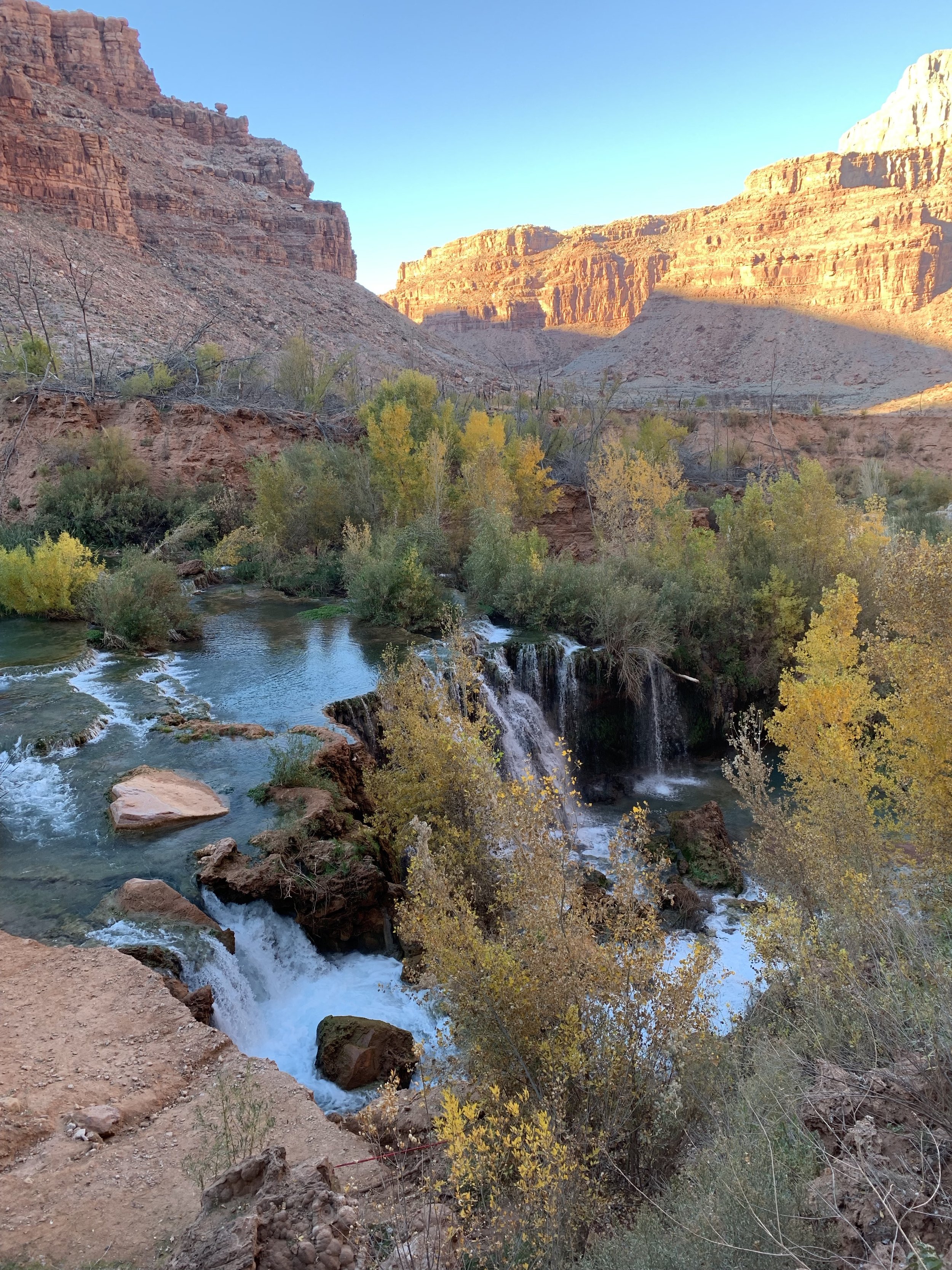
NAVAJO FALLS (9 MILES IN)
HAVASU FALLS (10 MILES IN)
HAVASU CAMPGROUND (10 MILES IN)
MOONEY FALLS (10-11 MILES IN)
BEAVER FALLS (12 MILES IN)
ADDITIONAL HIKE TO THE GRAND CANYON CONFLUENCE (18-20 MILES IN)


