"A tulip doesn't strive to impress anyone. It doesn't struggle to be different than a rose. It doesn't have to. It is different." - Marianne Williamson

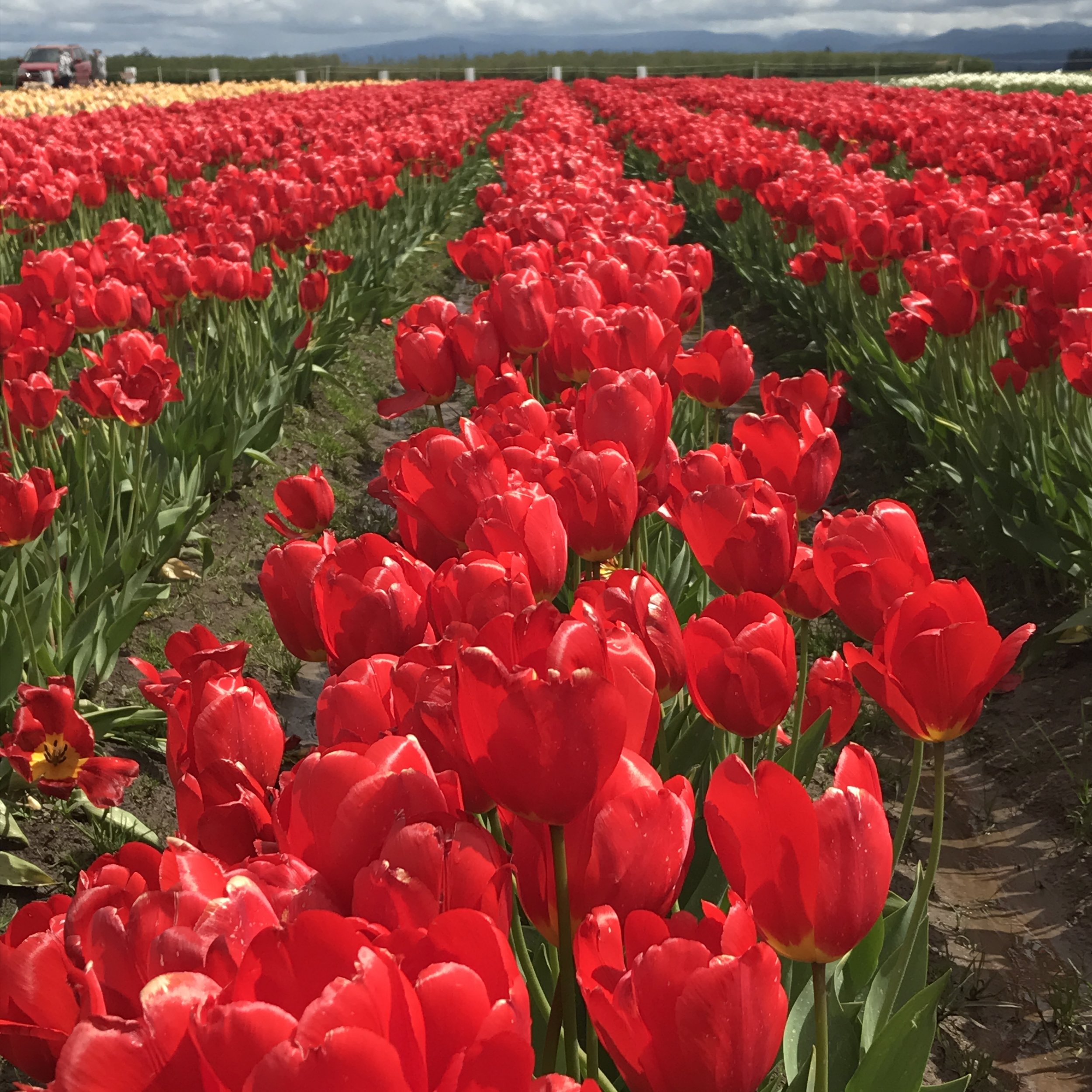
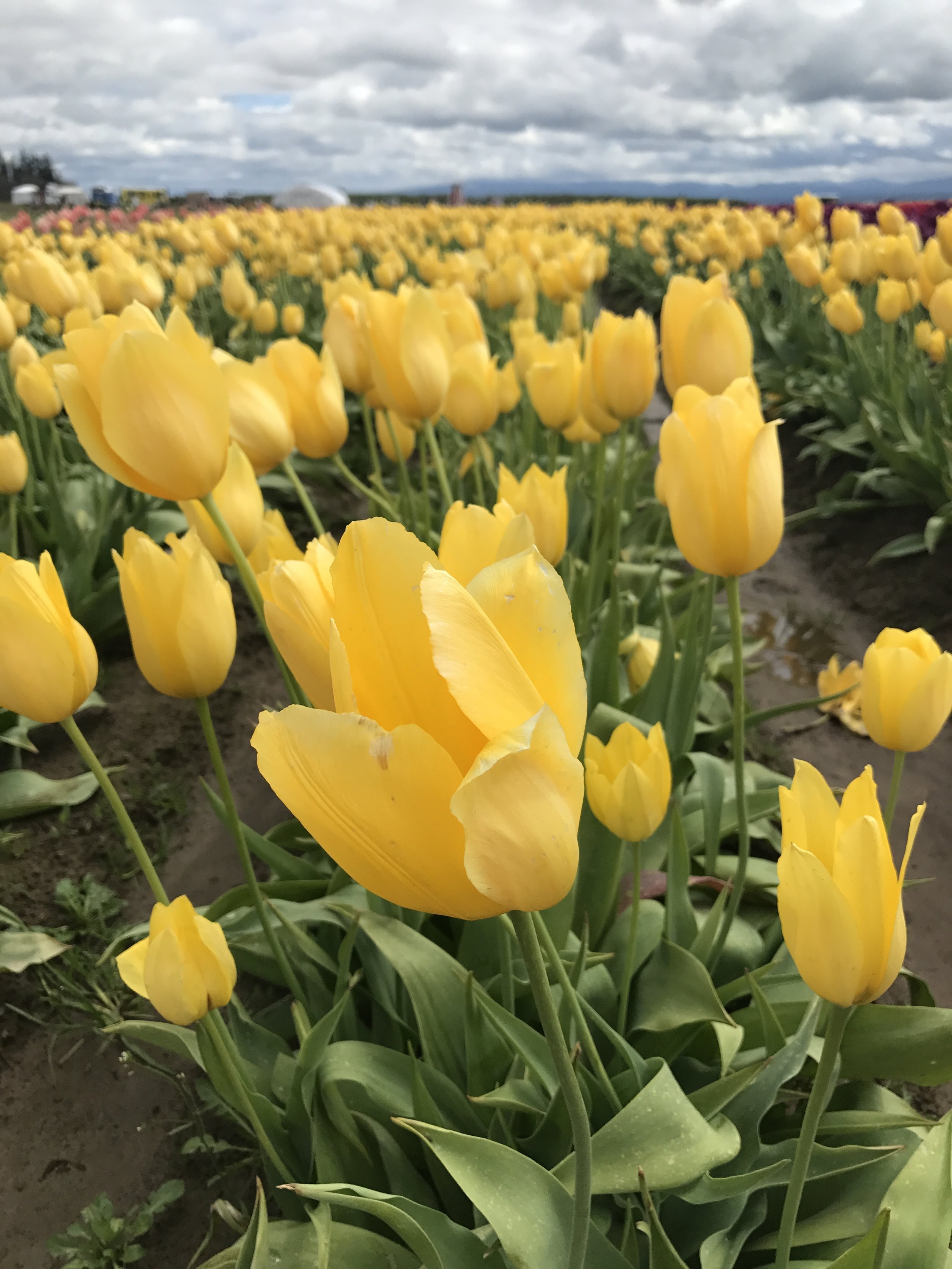
The fields are adorned with tulips of all variety and color at the Wooden Shoe Tulip Festival.

WHAT YOU'LL SEE
Tulips. Tulips. And more tulips. Row and rows of them. All shapes and sizes. All colors and varieties. It's all here. Bring friends, bring family and come wander through the fields. Buy some popcorn and take the kids on the giant slide. Come early and catch the sun rise over the snow caps of Mt. Hood. Watch the hot air balloons take off. Buy some tulips for your loved ones. Buy some seeds to plant in your yard. Peruse the local artisan booths. Enjoy wine tasting. And takes lots of pictures! That's what you'll get at the Wooden Shoe Tulip Festival.
HISTORY
What started as a humble 15 acres in the 1980's has now transformed into a 40 acre field of tulips. Tulips are planted each October by three machines purchased from Holland. Meticulous measures are made to make sure the tulips are free of disease, weeds, insects and erosion. Every year a new variety of tulips are planted and arranged differently for people from all over the world to enjoy.


WHERE
Woodburn, Oregon. An hour south of Portland on the I-5.
WHEN
Generally, the Festival runs from late March to late April/early May.
HOW MUCH
Admission to get into the Festival is $5/person or $20/car (if there are more than 4 people).
MORE INFORMATION