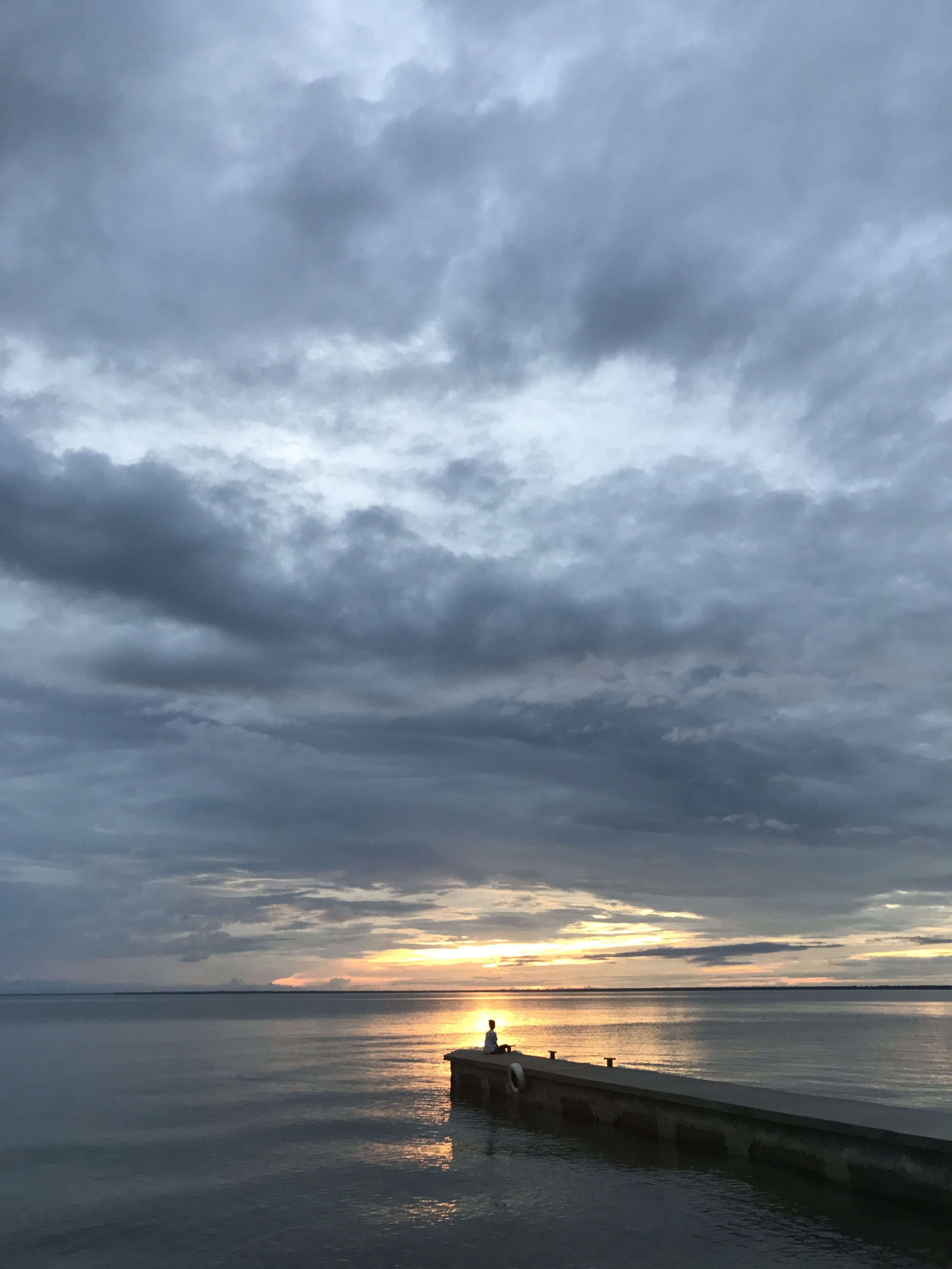
The famous Mittens at dusk
MONUMENT VALLEY:
Monument Valley, that ever iconic symbol of the Wild West, has always represented for me the rugged and unexplored frontier, what’s possible for the curious, and the reward for the seeking, the real diamond in the rough. The real secret though? There’s so much more to do in this area. But let's start at the beginning.
Okay, so you want to go to, but you need to know where to stay and what to do. No problem.
WHERE TO STAY: THE VIEW
http://monumentvalleyview.com/
Grab a room at The View! There is no place closer than this for your access to Monument Valley. Rooms here are reasonably priced, especially for the views, (you can see Monument Valley from your room!) and it includes a complimentary breakfast. The restaurant provides local cuisine and I recommend getting a Navajo Taco. A gift shop is attached to the restaurant if you're in the mood for grabbing a souvenir, a beautiful piece of Navajo jewelry or pottery. How much for a night? Plan on spending between $100-$200 a night. Rooms fill up fast so book your room a few weeks in advance.

The View
WHAT TO DO: GO FOR A DRIVE
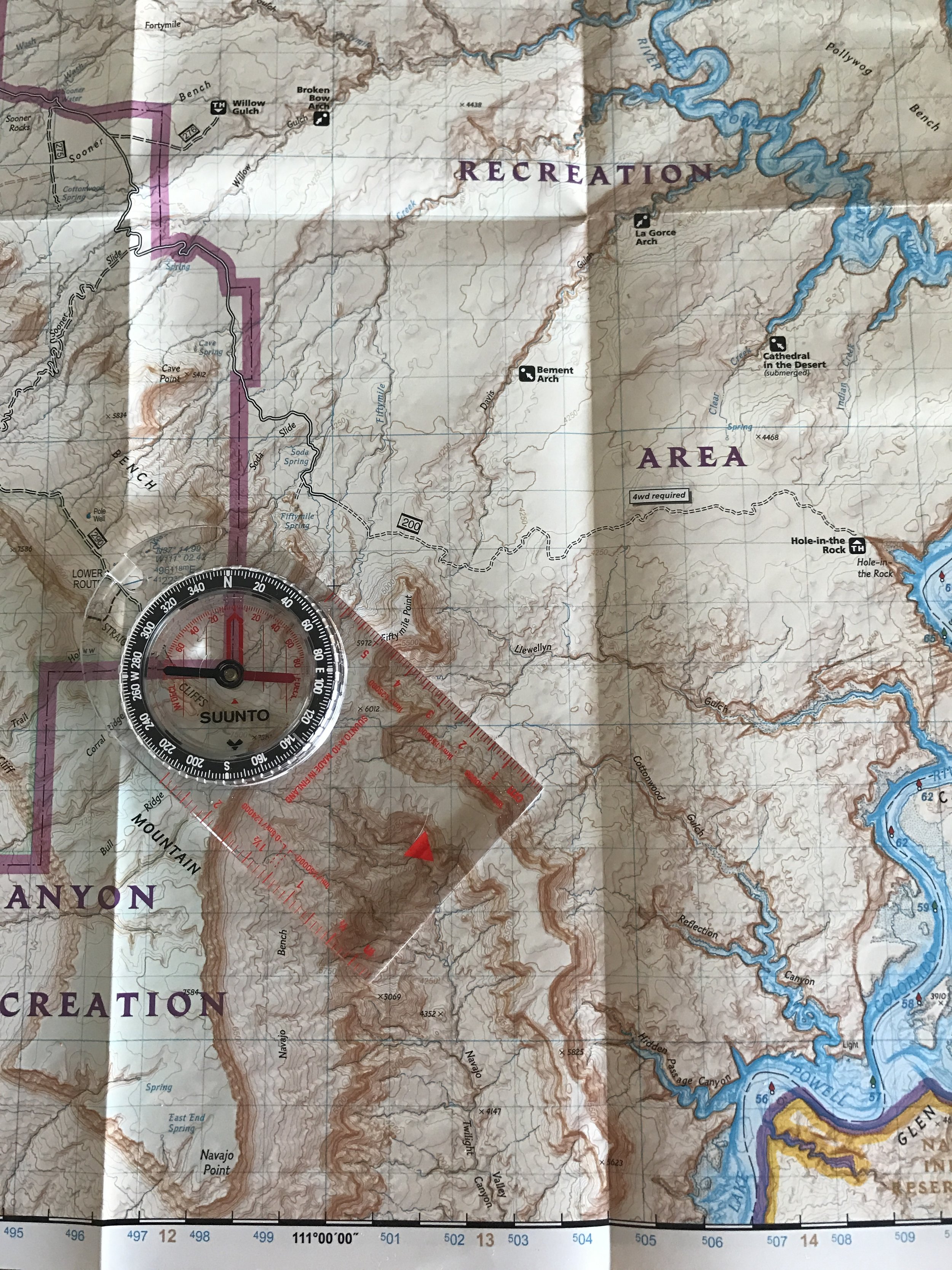
So you've paid a small entrance fee and made it to Monument Valley. What next? GO FOR A DRIVE and see the sights. Right next to The View Hotel is a 17 mile looped road for your viewing pleasure. A compact car will do, but be prepared to drive slowly on a dirt road with some potholes. Along this route you will see much more than the Mittens, a myriad of rock formations and valleys that give you a much better appreciation for the depth of the valley. How long does the loop take? Pack a lunch and plan on spending a few hours by stopping at the many sights along the way. Maps are available at the entrance fee station.
BUT WHAT ELSE IS THERE TO SEE?
I'm glad you asked. SO MUCH MORE! Here's a small list below to get you started.
VALLEY OF THE GODS:
Looking for a more rugged experience? How about pitching a tent along Valley of the Gods road? Here, you'll beat the crowds and be even closer to the large monoliths rising up above you. Give it a go. You won't be dissapointed.

GOOSENECKS STATE PARK:
Wanna see something wild? Take a quick trip over to Goosenecks State Park to see the meander of the San Juan River. It's a truly spectacular sight.

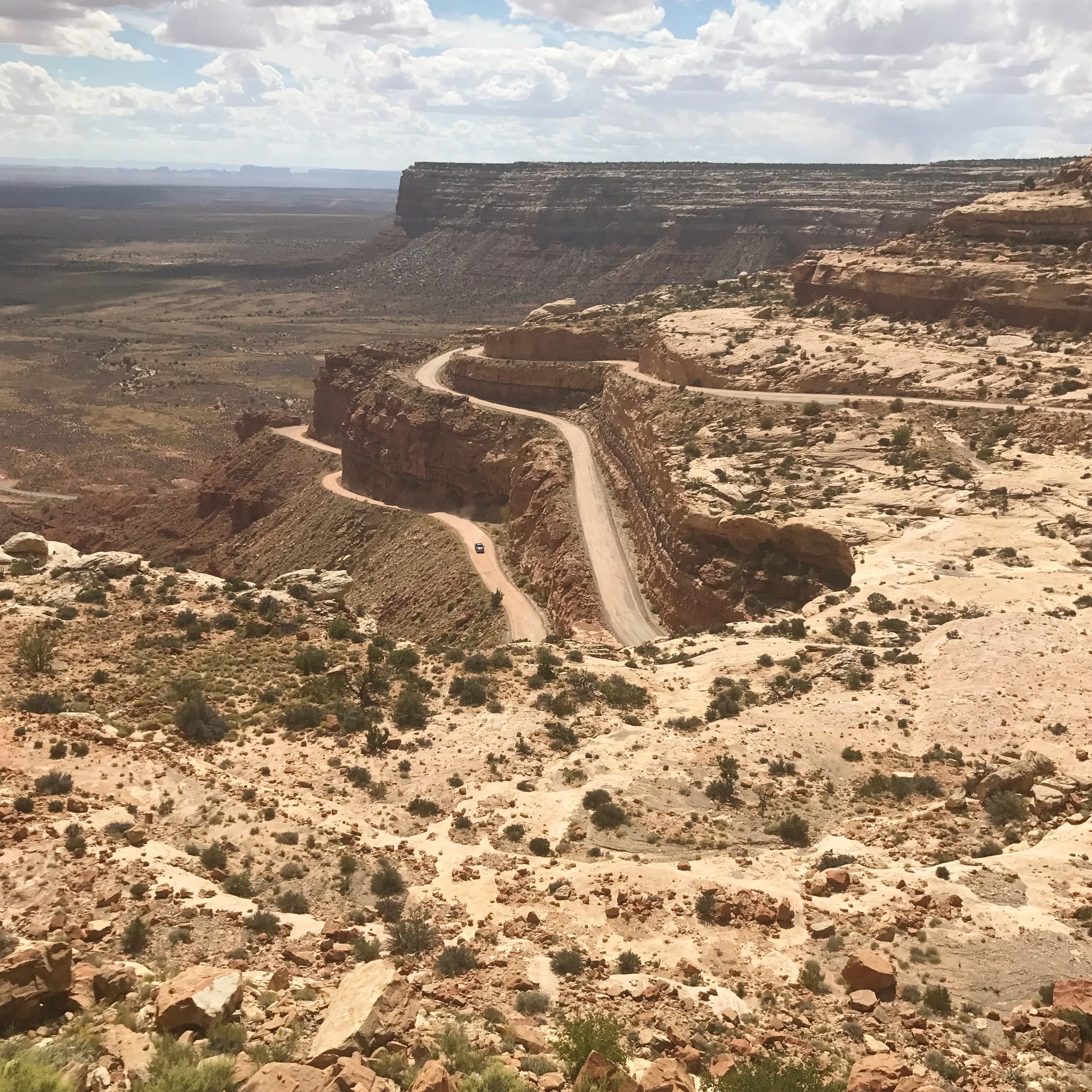
MOKI DUGWAY:
To see a breathtaking sight of the Utah/Arizona land in which you'll be roaming about, take the steep, unpaved but graded switchbacks of Moki Dugway. When you get to the top, take a moment and pull over, and enjoy the sights below you.
WELL...
What are you waiting for? GO ADVENTURE!

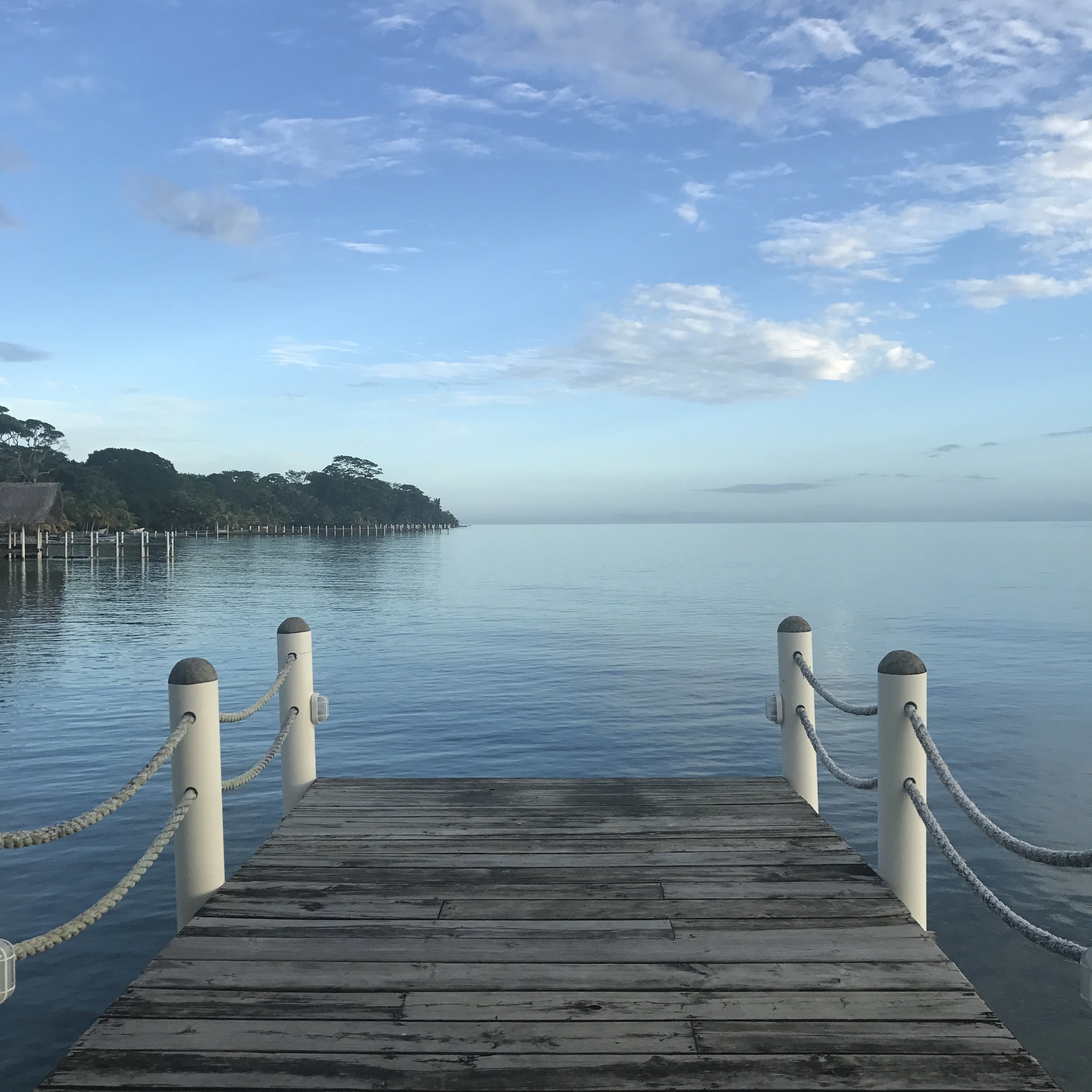
Monument Valley at sunrise